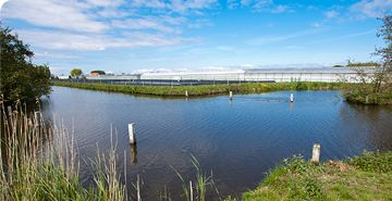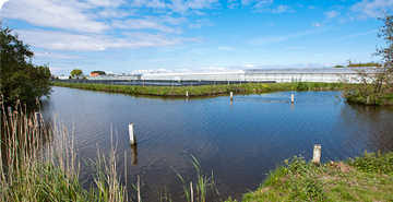
Ravenna’s water-related heritage embraces environmental as well as built assets, ranging from archaeological finds to contemporary industrial areas and buildings.
Following one of the overall project goals, that is a shared water-linked storytelling to be made available for tourist as well as educational, scientific, and entrepreneurial purposes, Ravenna's pilot action is dedicated to the development and testing of two tools conceived to support the storytelling: drone mapping and 3D virtual rendering. By matching the narration of the water linked heritage with selected points of interest, both techniques offer an innovative and engaging mean of exploration:
• the drone mapping provides an easier visualization of the abundance of water-related features in the area, framing each point of interest within the overall map and providing a straightforward comprehension of the narrative thread connecting them;
• the 3D rendering, scaled down to an individual item, enriches and enhances the narration through experiential navigation, that can be tailored to the needs and interests of the individual users (for education, research, conservation planning but also tourism marketing) of the individual water-related asset. Classis Museum was selected as a sample site for the 3D reconstruction, representing the smallest unit within the local redevelopment sites addressed in the scope of WaVE.
The 3D reconstruction offers user to undertake a virtual visit of the Classis Museum, thus offering a totally free of charge, high-quality and inclusive experience, while overcoming the physical limitations to cultural heritage access in such times as the ongoing pandemic.
Various stakeholders have been involved in the collection of materials to create the contents narrated within the virtual tour. We have also capitalized some outputs and materials of two other ongoing projects affecting one or more of WaVE's sites: DARE and TEMPUS projects. In particular we exploited:
• the results of the Open Call for citizens’ contribution of historical images and videos of the Darsena within DARE;
• the images and texts resulting from the scientific research on the local heritage conducted by the University of Bologna within TEMPUS.
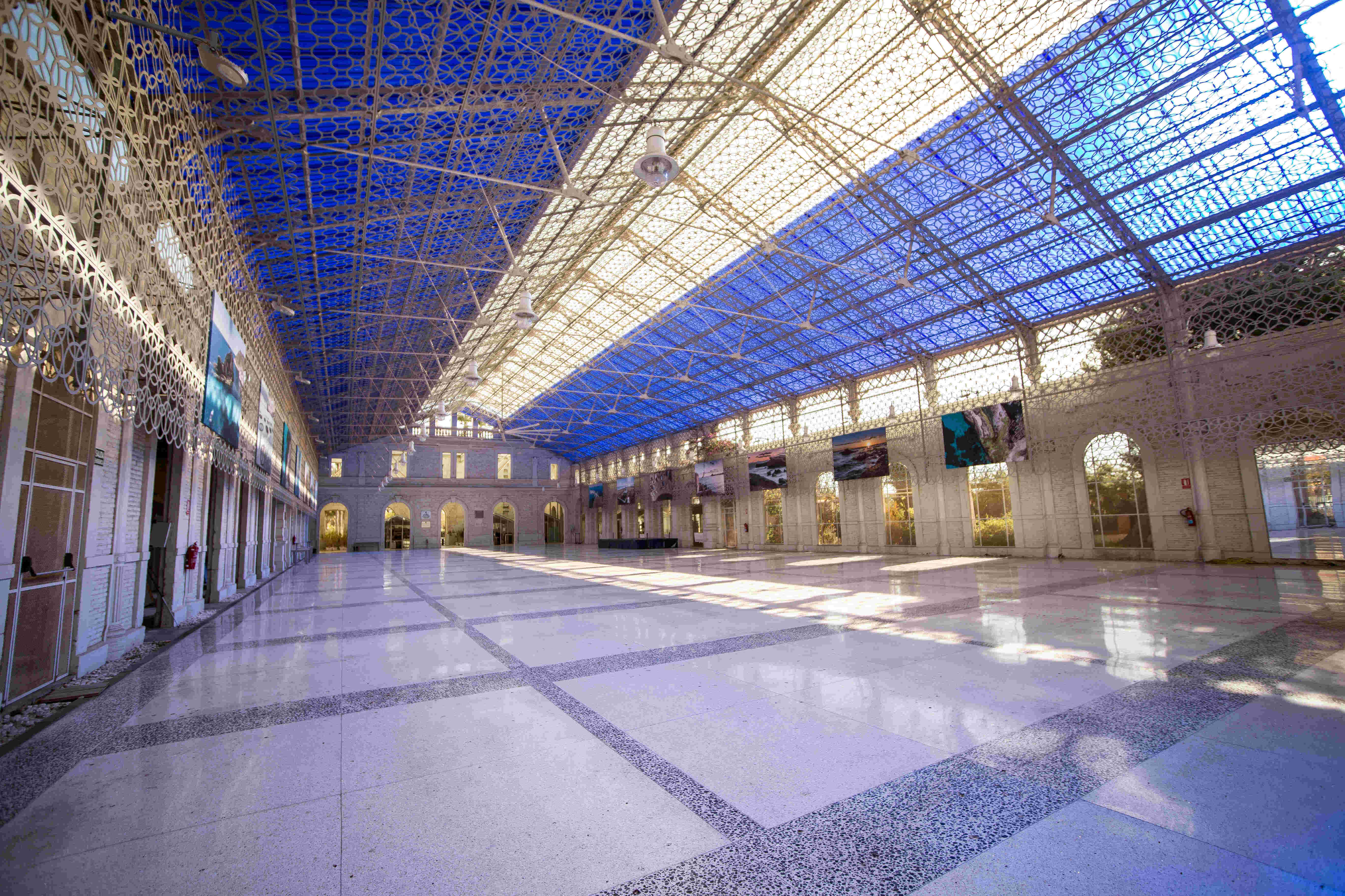
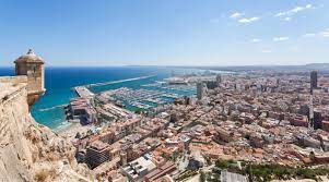
The pilot action is inspired to individual or multiple actions taken from the Good Practices exchanged with WaVE’s partners during the knowledge exchange sessions and connected bilateral meetings and in particular to Alicante's Blue Routes, that is the collection of information and data on the identified water-linked redevelopment sites and their presentation in an attractive and well-structured way, by means of the most modern and cutting-edge communication techniques. Our drone mapping and 3D rendering represent a further enhancement.
The full-screen version of the virtual tour can be accessed through this url: wave.supertour360.com or from the official webpage of the Tourism department: www.turismo.ra.it/en/myravenna/wave/.
The videos recorded by drone have been enriched with navigation points (view points) enabling to aerially explore the area and to locate the visible Points of Interest.
Users can choose the direction they want to follow and decide whether to fly to the next destination or to skip the flight and go straight to the desired Water-Linked Heritage feature.
Each feature is briefly described in a pop-up webpage card either in Italian or in English.
The navigation tool has been available on our website for over a month now and at least 100 people have virtually flown our waters. Several positive feedbacks have been received on the tour with some suggestions for improvement and 23 satisfaction survey sheets have been filled in by local stakeholders. The goal of our pilot action has been achieved as most of the respondents appreciated the possibility to have an overall view of our heritage which is not possible from the ground level.
>> Watch the video "Flying over the mouth of the Bevano stream"