Developing systems for mapping and assessing ecosystem services at all levels is one of the targets of the EU Biodiversity Strategy for 2030. In response, local authorities and regions across Europe are increasingly attempting to map and assess their ecosystem services and use such information in the decision-making process. A key challenge is communicating the value of ecosystem services to decision-makers when they are weighing-up options and priorities. More specifically, while policies for green infrastructure are now increasingly mainstream, decision-makers often lack the appropriate resources and tools to assess potential conflicts between the protection, development and maintenance of ecological networks and corridors on the one hand and development on the other.
SITxell as Good Practice
Across the Barcelona region strong policy approaches have enabled detailed mapping of ecosystem services. using the SITxell tool for territorial analysis.
This Good Practice (GP) was received very positively by PROGRESS partners and stakeholders, with particular interest in its conceptual model for the approximation of ecosystem services. Furthermore, the applicability of SITxell for green infrastructure mapping and the manner in which it can be incorporated into the planning decision-making process was deemed highly impressive on the basis of evidence of success and transferability.
Inspiration for the Pilot Action
Representatives from the local authorities in the Dublin Metropolitan Area in Ireland who are considering approaches for ecosystem service mapping in their administrative areas expressed interest in SITxell following the 1st PROGRESS exchange.
In February 2021, Interreg Europe hosted a webinar on Phase 1 Pilot Actions for interregional Good Practice transfer and testing. With the development of a standardised green infrastructure mapping approach for the Dublin Metropolitan Area identified as a policy priority for 2021 by the Eastern and Midland Regional Assembly, the clear potential to Pilot the transfer of the SITxell methodology for ecosystem services mapping in the region was identified. In the Region, Dún Laoghaire-Rathdown County Council (DLRCC) had already carried out some ES scoring exercises and the administrative area contains a wide diversity of habitats across a small area, from mountains to the coast.
Implementing the Pilot Action
Co-ordinated by the Eastern and Midland Regional Assembly (EMRA), this Pilot Action involved close collaboration between EMRA, CREAF and DLRCC to test the transfer of the principles of the SITxell approach to the DLRCC administrative area.
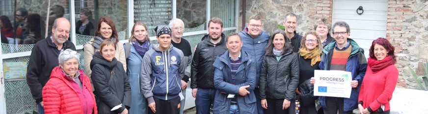
DLRCC supplied all key datasets while CREAF were responsible for integrating these datasets with the SITxell methodology. The Ecologist and Biodiversity Officer from DLRCC provided professional input based on expert knowledge of the flora and fauna of DLRCC and the relationships between these, while a Senior Executive Planner from EMRA along with the EU Project Officer provided expert input on the local policy, planning and development context. As part of the testing and evaluation phase of the Pilot Action, a number of workshops were held with key stakeholders to demonstrate and collect feedback on the mapping approach.
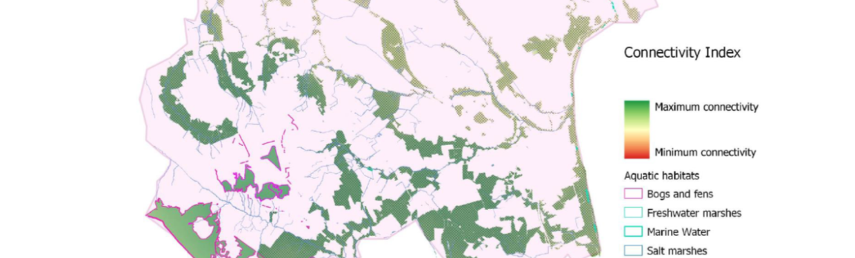
Results of the Pilot Action
Following the SITxell model for mapping ecosystem services and in consultation with local land use and biodiversity experts, a set of land value indicators were prepared on the basis of biodiversity conservation value, functional value and population proximity were mapped for the full administrative area of Dún Laoghaire-Rathdown (see details in full report):
- Biodiversity conservation value including areas of conservation concern, wildlife corridors.
- Functional value including measures of naturalness, diversity and connectivity of the landscape.
- Population proximity to demonstrate the potential pressures of urban populations on ecosystem functioning.
Reception
The next step is to work with key regional stakeholders to advance the coordination of a standardised Ecosystem Services and Green Infrastructure Mapping Approach in the Dublin Metropolitan Area, the main focus of the EMRA Action Plan.
Workshops with technical experts and decision makers from Dún Laoghaire-Rathdown and the Dublin Metropolitan Region determined that the methodology and mapping approach was both effective and appropriate to contribute to the development of a coordinated approach for ES and GI mapping in the Dublin Metropolitan Area.
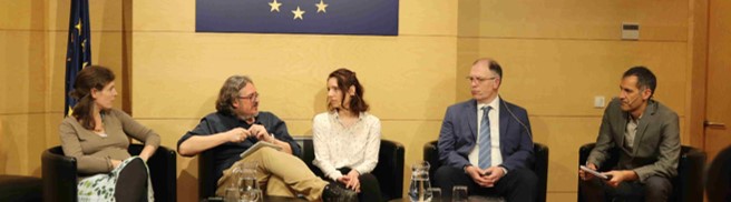
The Technical Report outlining the methodology of the mapping approach was presented by CREAF and launched by Councillor Lettie McCarthy, Cathaoirleach (Mayor) of Dún Laoghaire-Rathdown in Dún Laoghaire on the 13.6.2022 at the final Phase 1 meeting of PROGRESS.