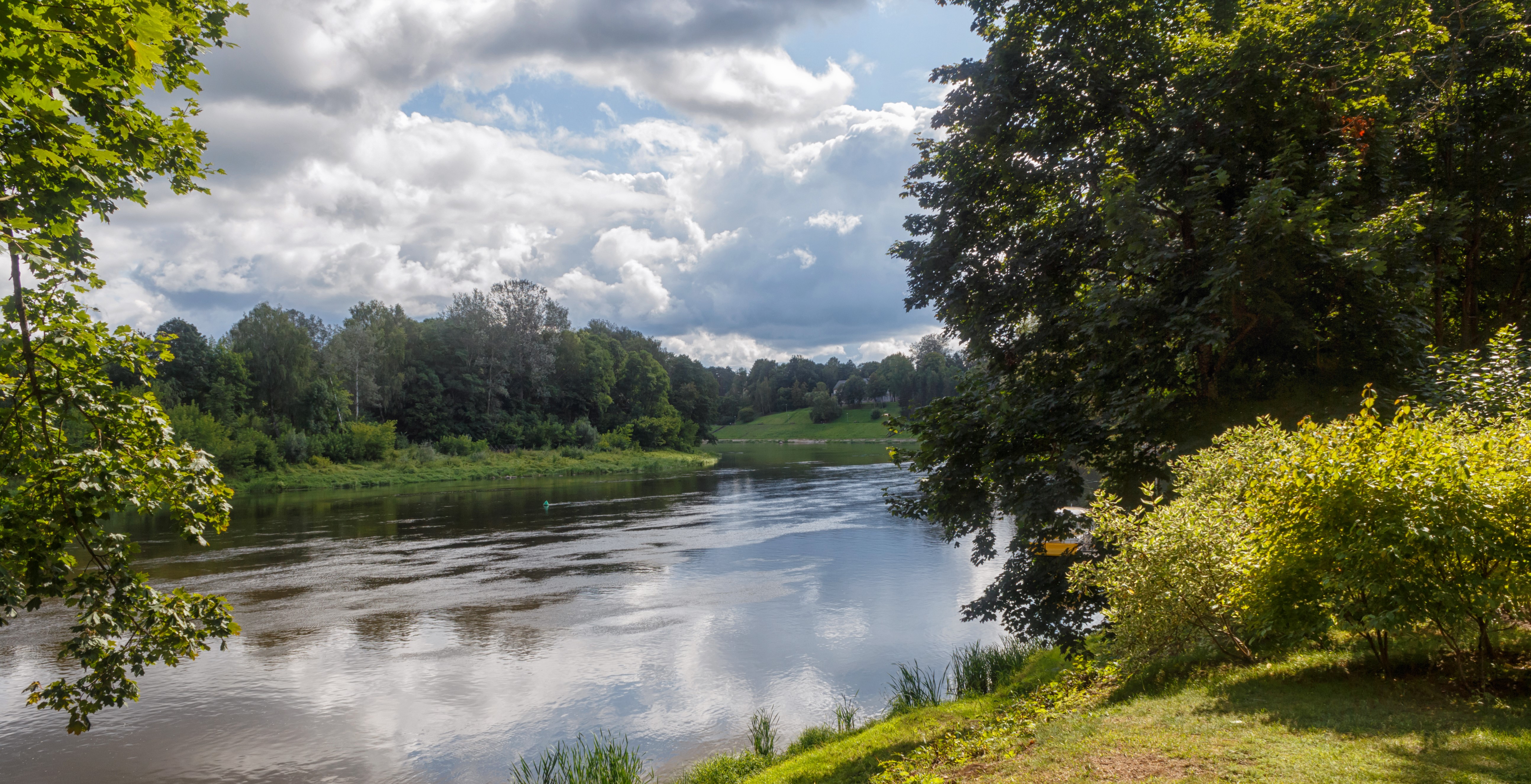
The uncovering of The River Aarhus. The river was covered between 1933-57. It was uncovered from 1992-2015 to create recreational areas along an open canal.
Parts of The River Aarhus was covered due to infrastructural changes between 1933-57. The decision to uncover and demolish the concrete road on top of the channelled river was initiated due to the desire of having better environmental and recreational surroundings in the historical centre of Aarhus.
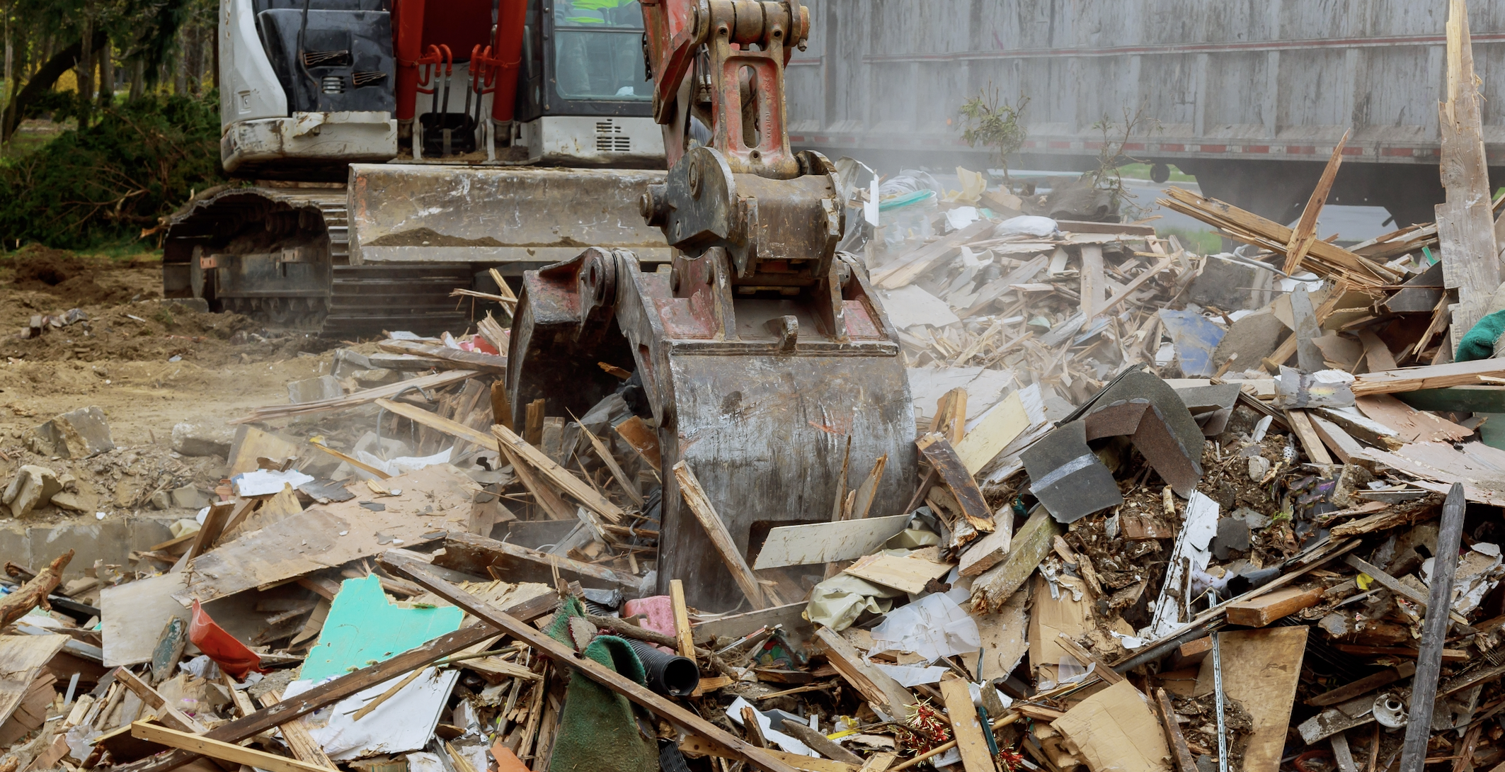
Between the early 1930s and late 1950s The River Aarhus was channelled and covered up in its most eastern end in order to improve traffic conditions. The infrastructural changes were large-scale, and the newly covered river turned into a busy road. The redevelopment of the centrally located Saint Clements Bridge brought by new thoughts of reopening parts of The River Aarhus. In 1984 the first drawings and visualizations of a permanently opened-up river were released by the City Architect’s office.
The main street of Åboulevarden was to be uncovered and an extensive recreational canal area solely for pedestrians was to be established. The local plan that dealt with the uncovering was finally approved in 1992, and in 1996 the first phase of the construction work was finalized. The uncovered river was completely re-opened in 2015.
At the mouth of the uncovered river a mechanism that regulates water levels to prevent flooding in the canal area was installed. Similarly, the park area of Mølleparken along the river had an underground reservoir for sewage water established. This was a new kind of water management solution in the center of the cultural heritage heart of Aarhus.
Resources needed
The project, with its many stretches was entirely funded by the Municipality of Aarhus. The stretch from Immervad to Saint Clements Bridge had a projected cost of 9 million €. The stretch from Immervad to Vester Allé incl. the water reservoirs beneath Mølleparken had an approx. cost of 12 million €.
Evidence of success
The environmental aspect is evidential through the absence of cars, busses and similar vehicles that emits carbon dioxide. Trees have been planted along the canal in the pedestrian zones.
It has become an attractive environment for locals and tourists to visit, and due to this the buildings along the canal are now full of cafés, bars and restaurants.
Aesthetically the uncovering has brought forth several awards, and economically property values have risen dramatically due to the changes.
Difficulties encountered
Due to the decrease in mobility and parking possibilities, some shop owners initially protested against the uncovering. They feared a serious decrease in sales.
Taxi drivers and other road users disliked the prospect of a closed centrally located thoroughfare. They feared congestion as a result.
Potential for learning or transfer
The practice could be interesting for those cities and regions that have witnessed a large-scale transformation of its infrastructure related to the covering up of rivers, streams or creeks. In the 1950s many European cities saw the need to expand their city centres in order to improve traffic conditions. This often led to the demolition of older buildings in order to create the necessary space. This also affected some water-linked spaces. Creating good infrastructure for the increasing number of cars meant that water no longer had a high priority in the booming cities.
By adopting the process that Aarhus went through other cities and regions could potentially gain some of the same socio-economic benefits. There are countless of key success factors that prove the uncovering of the River Aarhus to be worthy of transferring to other locations. The first step in transferring the idea would be to inform the population in the target area of the values of accessing water under an open sky
Please login to see the expert opinion of this good practice.
Tags: Cultural, Heritage, Infrastructure, Natural disasters, Nature, Rivers, Water, Waterways