Ecosystem protection requires a wide range of data. The Program supports the evaluation of natural assets in Hungary and provides data and methods for experts.
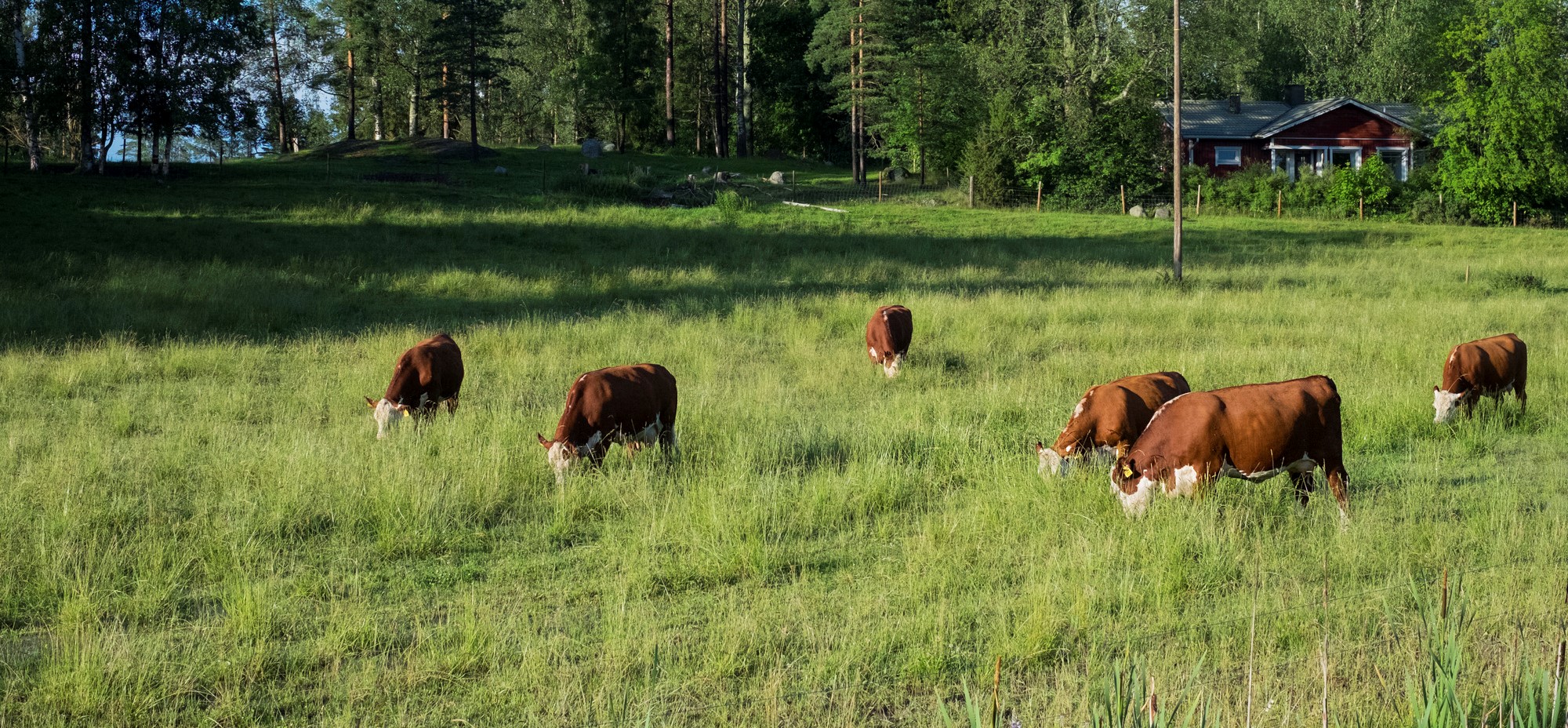
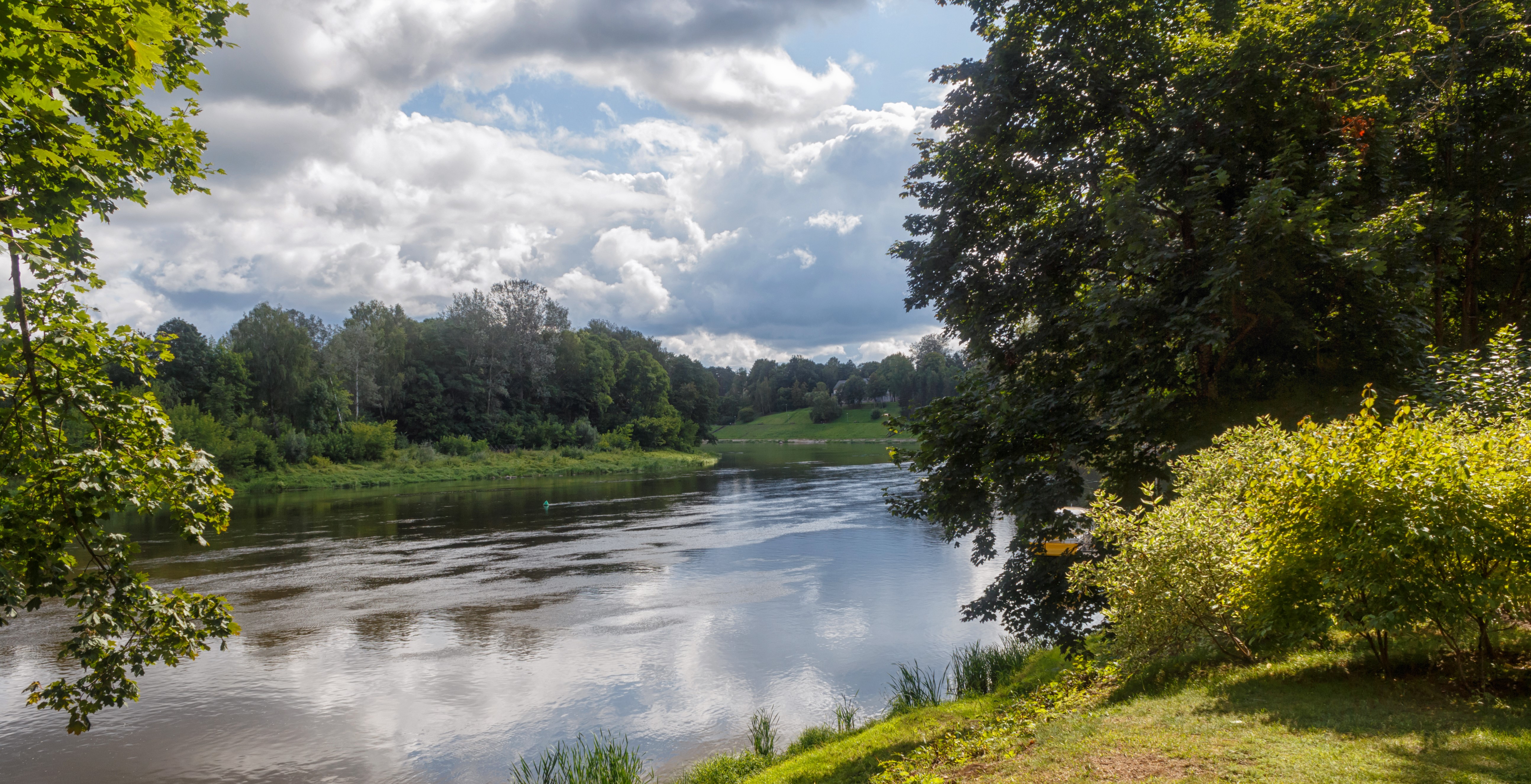
The loss of biodiversity, the disappearance of animal and plant species, and the deterioration of natural habitats are becoming an increasingly serious problem in Hungary and all over the world. As economic growth relies heavily on making the most efficient use of natural resources, halting the loss of biodiversity can only be achieved through well-organized, coordinated action. To intervene at the right level, time and manner, deeper knowledge of our ecological system is needed: the mapping of the spatial distribution of natural capital and the definition of their development potential are essential. Therefore, the aim of MAES-HU is to evaluate and map the ecosystem services that are considered to be the most important and relevant for Hungary. The Ecosystem Base Map offers three main functions: providing a map on the spatial distribution of Hungarian ecosystems in line with the European ecosystem map; provision of baseline maps and indicators for the qualitative and quantitative assessment of ecosystem services and ecosystem status; provision of a basic map for the assessment of the current condition and structure of the green infrastructure, for the planning of developments, including the mapping of restoration priorities. The Ecosystem map is made up of six main categories: urban areas, croplands, grasslands and other herbaceous vegetation, forests and woodlands, wetlands, rivers and lakes. The map is mainly based on already existing databases.
Resources needed
The total budget was 1.070 million HUF (ca. 3,15 million EUR). 85% of the costs were covered by the European Regional Development Fund, while 15% was provided by the State of Hungary. A consortia of the 8 most important organizations in this field participated in the project.
Evidence of success
The completed Ecosystem Base Map can be considered as the first, operational, nationwide implementation of the new map data production using bottom-up, data-based data integration and remote sensing tools. The map provides full spatial coverage of Hungary. The data provided by the ecosystem map and its database provides efficient support for local (settlement), regional and national green infrastructure development, and assessing the natural assets of different selected areas.
Difficulties encountered
The map is almost completely accurate at 1: 25000 scale, however, on a larger scale, there are some classification errors, or the problem of drawing boundaries between adjacent categories and managing mosaic areas, as well as conceptual issues such as definition of certain saline areas.
Potential for learning or transfer
Downloadable databases are free to use as long as references to the source are provided. The designed format of the platform facilitates connection to major European data systems in terms of both data collection and analysis. During the creation of the Ecosystem Base Map, the creators sought to use free-to-use software and to integrate freely available databases. The result of the project will determine the landscape planning settlement development, nature protection activities nationwide. Also it is available for educational purposes and as a ground for further examinations of specific areas.
Please login to see the expert opinion of this good practice.
Tags: Analysis, Biodiversity, Climate change, Data, Ecosystem, Environment, Governance, Mapping, Protection